
Rutherford County, TN - Rutherford County Geographic Information System (GIS) services is supporting Hurricane Helene efforts in east Tennessee.
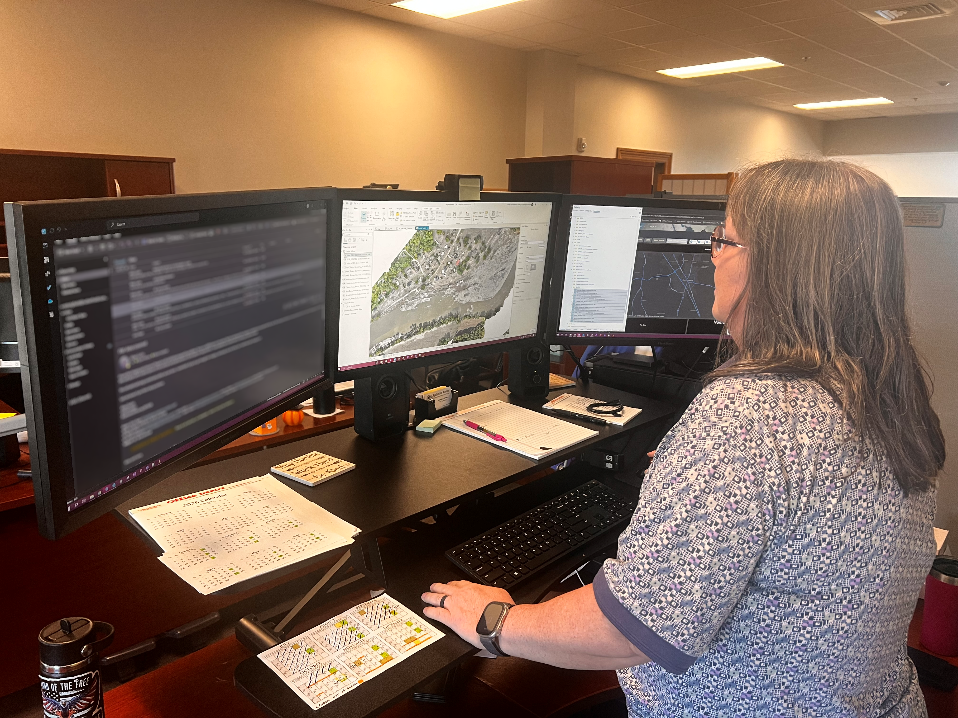
Washington County in East Tennessee asked Rutherford County GIS services to assist with imagery processing from Unmanned Aerial Vehicle (UAV) mapping of the flooded areas of the Nolichucky River near Erwin and Johnson City. The department processed over 10,000 images into a working map that showed extreme detail of the flooded area. This working map will help identify and map all the damaged vehicles within the specified area. The data will be forwarded to Washington County GIS to use in their recovery efforts.
“We are happy to help our friends in Washington County with their GIS needs,” said GIS Manager Mike Curtis. “We couldn’t have done it without the legwork from StormPoint flying the UAV missions.”
GIS services is a division of the Office of Information Technology. Their primary goals include countywide data acquisition, collection and maintenance along with coordinating efforts between county departments, other municipalities and agencies.
For information regarding donations and resources for Hurricane Helene please visit the Tennessee Emergency Management Agency Facebook page HERE.